GIS-Based Takeaways from Esri’s 2024 User Conference
July 25, 2024 by Beth Amann
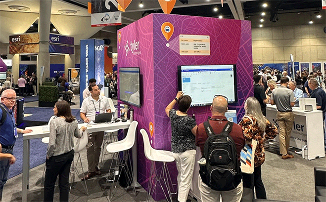
“Stay Mappy, San Diego!” was the phrase that greeted over 20,000 GIS professionals at the 2024 Esri Annual User Conference, where Tyler Technologies was a bronze sponsor. In addition to several map puns and impressive GIS-based data visualizations, the Tyler team was on-site to capture the following key takeaways.
Takeaway 1: Governments can streamline decision-making with a powerful, unified experience with GIS-based technology and data visualizations.
Picture this: you have several work orders to complete in a set period. You can look at a list of addresses and make your best guess of which to tackle first or plot them on a map to better understand the urgency of the request, the proximity of the locations, and the most efficient route to take. The one that leads to a more streamlined process and is powered by GIS-based technology is likely the option your workforce and leadership would opt for. GIS experts at Esri’s User Conference championed how integrated solutions and the ability to visualize a workflow provide a more seamless process for government professionals and more satisfied residents.
Takeaway 2: All areas of government can benefit from GIS-based technology.
If you have a spatial data file to input, you can benefit from GIS-based technology. The professionals at Esri’s User Conference explored ways to empower decision-making across a variety of fields. Maps aren’t just for those working with land use, but can also be leveraged by school transportation professionals, public safety agencies, property assessors, recorders and clerks, asset management teams, and more. Examples explored at the conference include:
- Connecting permitting and licensing solutions with assessment tools and records management to see the entire land development life cycle and create authoritative data for multiple departments.
- Mapping out the most efficient routes for school buses to ensure students can quickly and safely make it to school on time.
- Using spatial data to see the entire history of a parcel and review changes over time.
- Grouping utility billing and asset management work orders together with GIS location technology.
GIS-based technology allows governments to visualize their data in a powerful way to understand how communities are impacted and how governments can more efficiently deploy their workforce. To learn more about Tyler’s GIS-based solutions and partnership with Esri, click here.